Wynkoop Cemetery
GPS# 42.008077,-76.602113
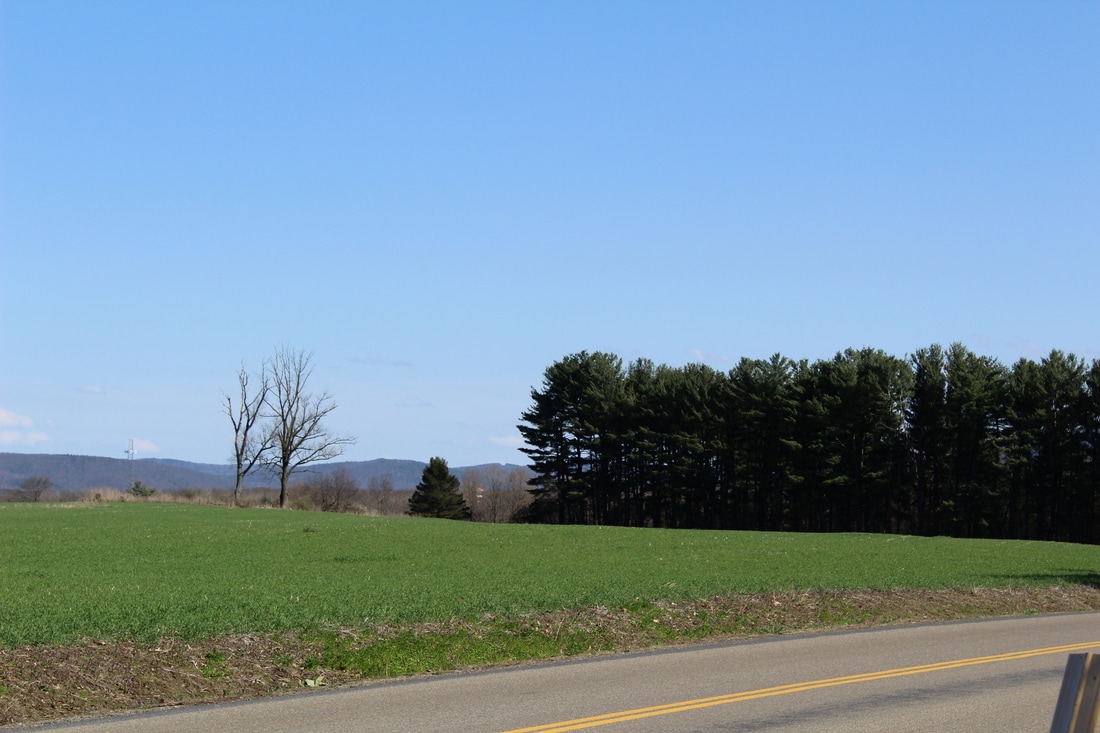
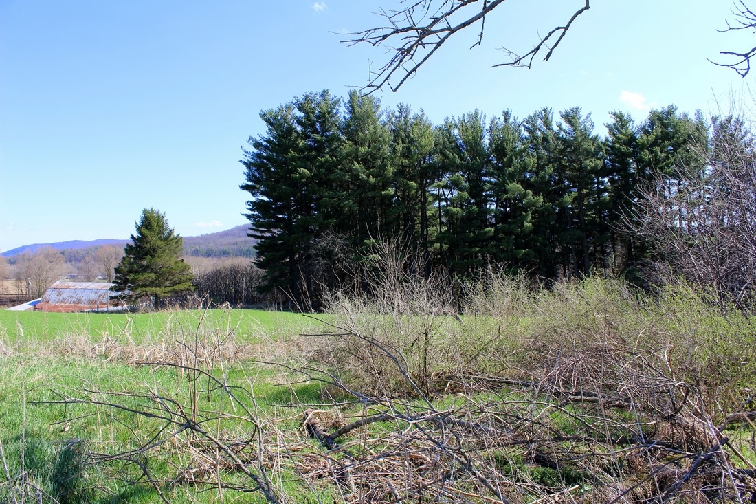
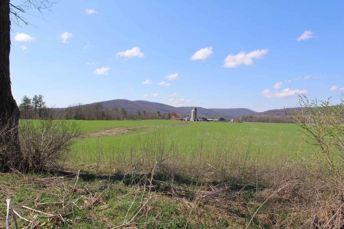
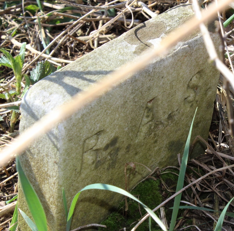
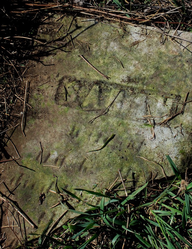
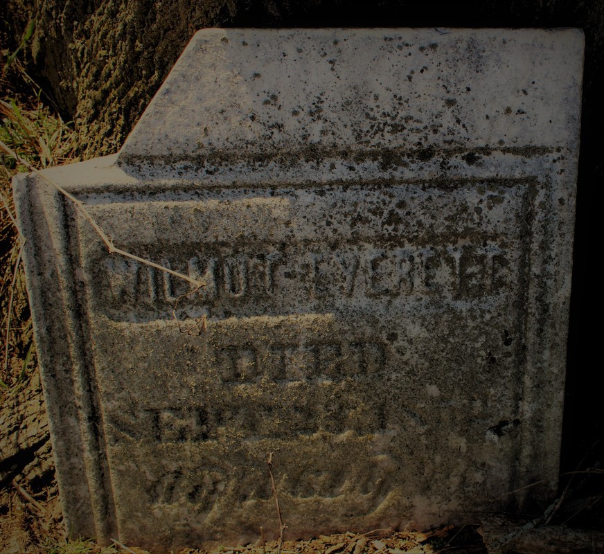
Since this page was originally made, a cemetery listing has surfaced, giving us the first list of 20 graves, February 2017. Since that time, April 12, 2017, the cemetery has been located and photgraphed. It will take several return visits to determine if more grave markers can be located. The area is over grown with weeds, pricker bushes and ticks. The cemetery is surrounded by a large farmer's field. There are two deciduous trees growing in the burial area. To the south of the burial ground is a stand of pines. On the other side of the pines is the Chemung Spring Water Building and past that is County Rt. 60 intersecting with Rotary Rd., approximately one mile east of the Town of Chemung proper.
Please check back, we hope to add more photos soon
LISTING FOUND!!!
June 1935 Listing of Chemung Cemeteries, inventoried by C.W. Northrup rediscovered by Linda P. Doane at the Tioga Point Museum February 2017
The pdf file is the entire booklet, I was unable to separate the cemeteries.
The pdf file is the entire booklet, I was unable to separate the cemeteries.
| chemung_cemeteries_1935.pdf |
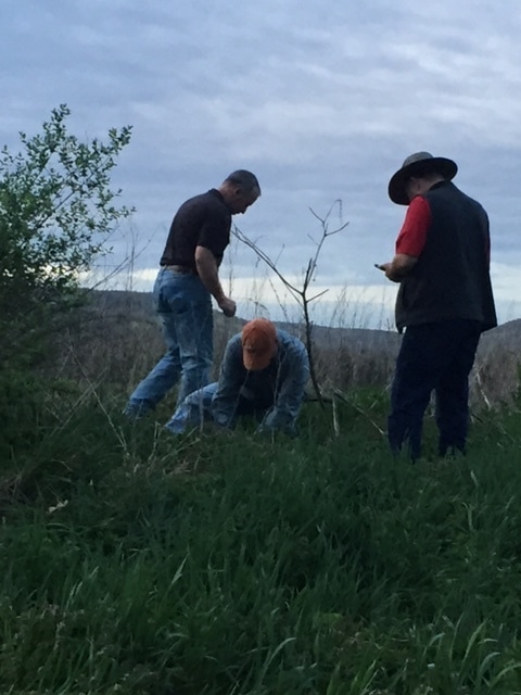
Dedicated Workers in the field! Literally! County Historian, J. Kelsey Jones, Ron Kunst and Jim. (4.2017 Photo by M.E. Kunst)
|
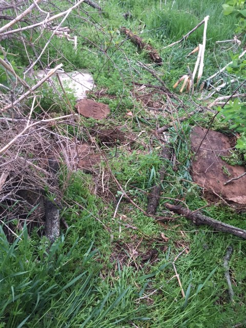
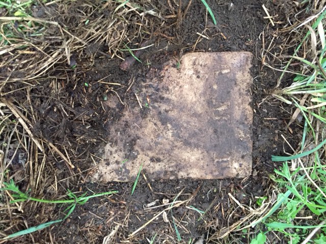
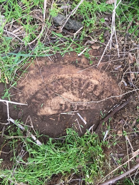
The cemetery was in ruins as you can see from this photo. The cemetery will be mapped and hopefully all the graves and grave stones idenfified. (4.2017 Photo by M.E. Kunst)
|
Click on photo to enlarge

Previous information reported on this cemetery: (by Joan Shafer, former town historian.)
On the east side of County Rt 71 (Rotary Rd) about 1/10th mile north of the intersection of County Rt 60 and 71, in a field, about 700 feet east of the highway, Chemung hamlet, Town of Chemung. (Under ten burials. Deserted-no apparent cemetery group, no records). (List of graves is not available)
On the east side of County Rt 71 (Rotary Rd) about 1/10th mile north of the intersection of County Rt 60 and 71, in a field, about 700 feet east of the highway, Chemung hamlet, Town of Chemung. (Under ten burials. Deserted-no apparent cemetery group, no records). (List of graves is not available)
