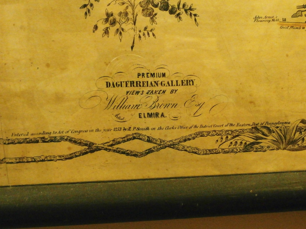
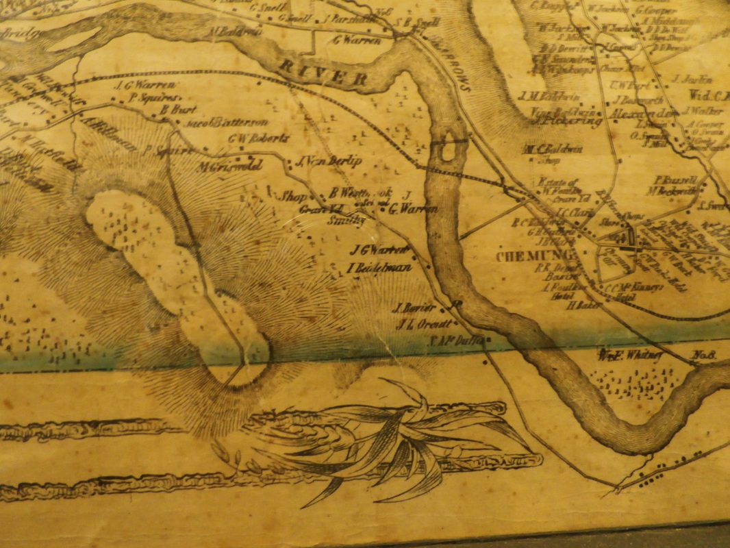
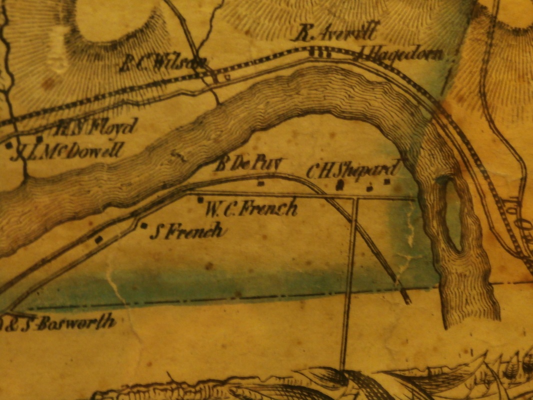
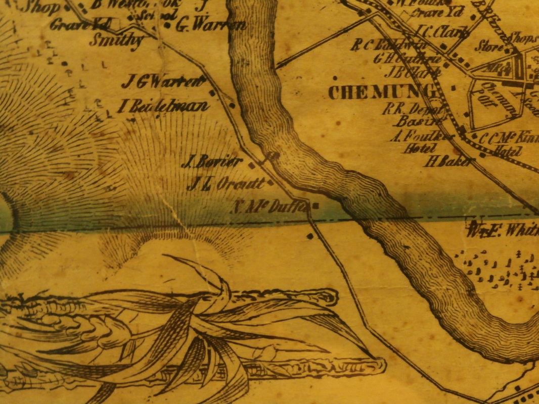
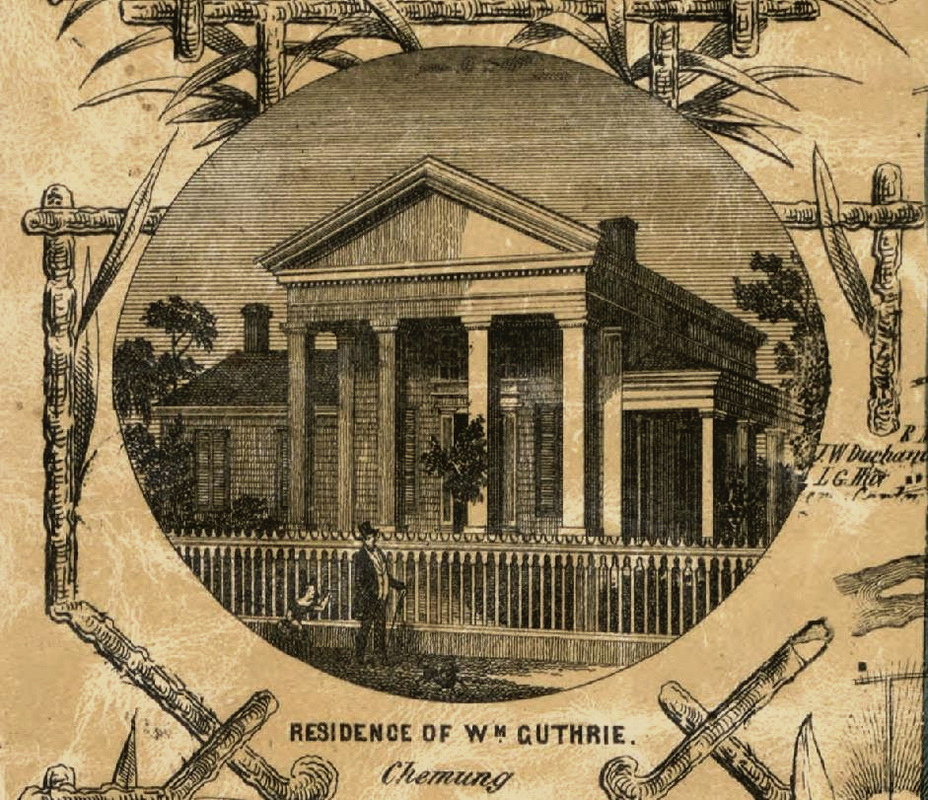
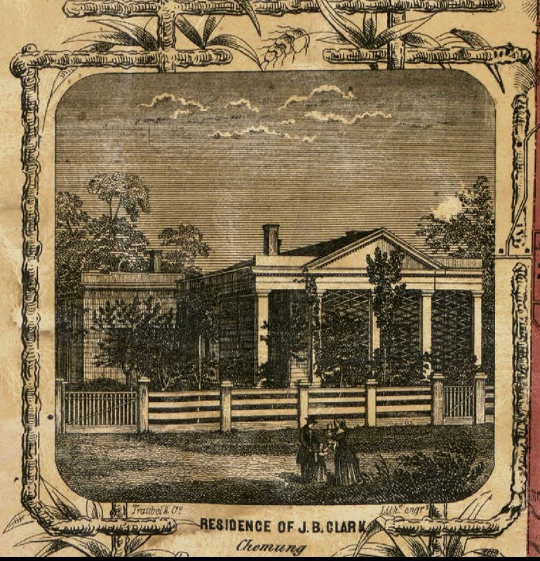
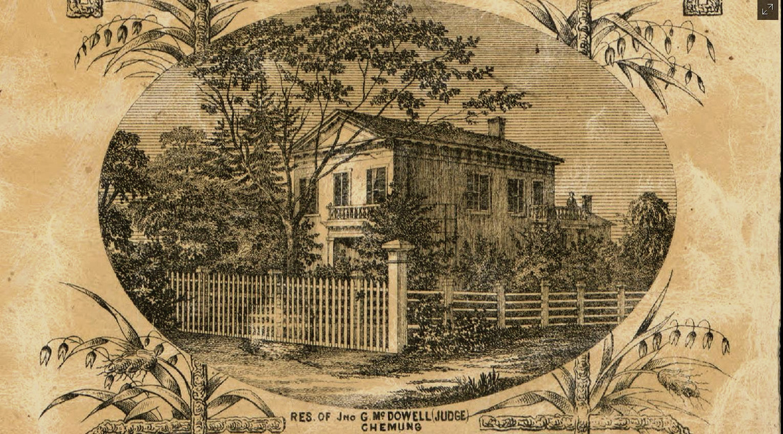
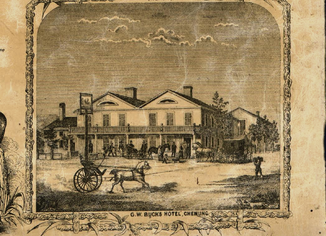
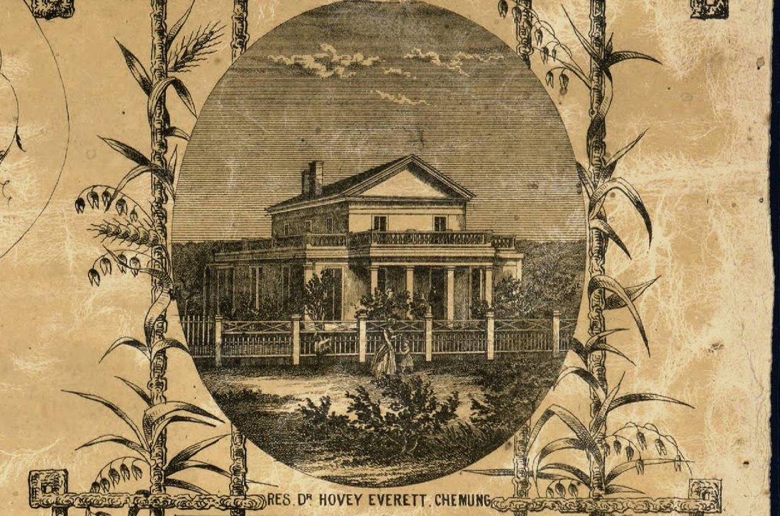
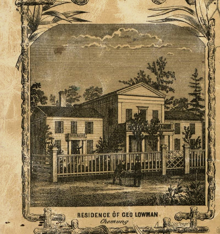
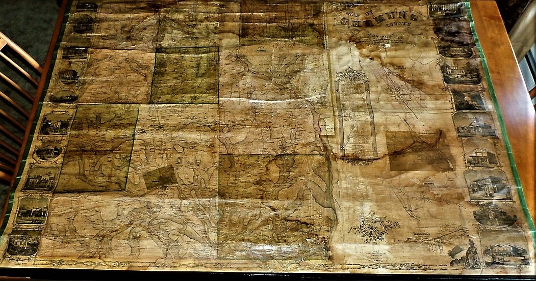
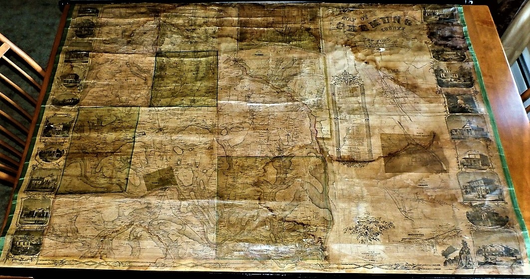
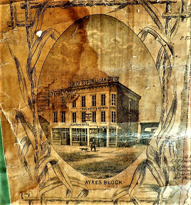
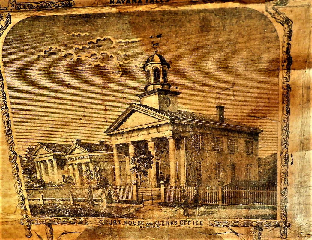
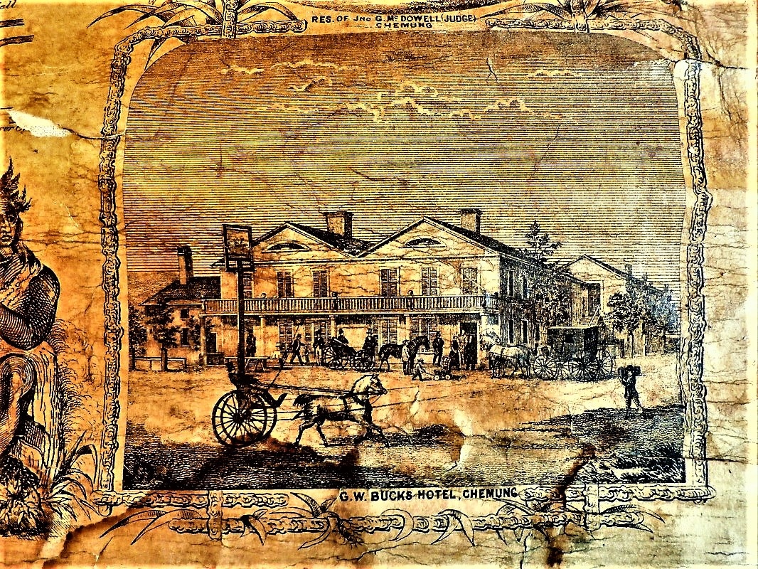
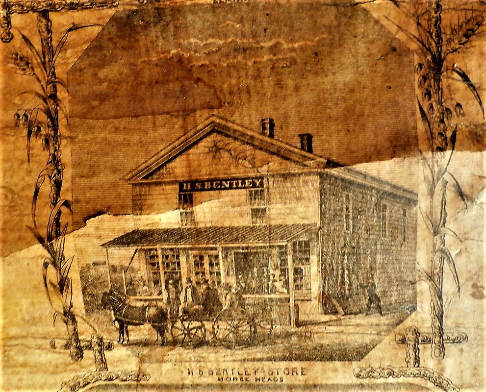
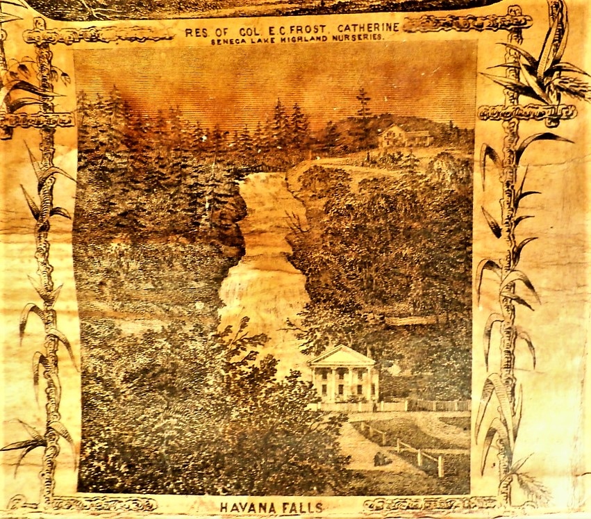
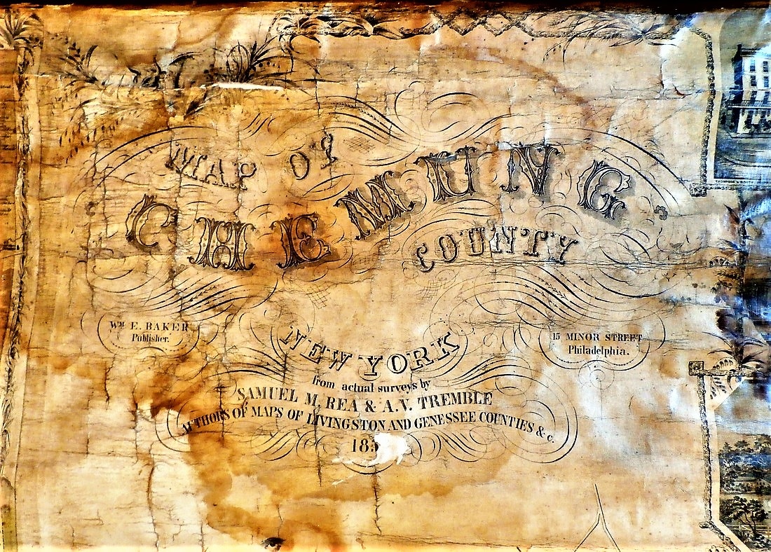
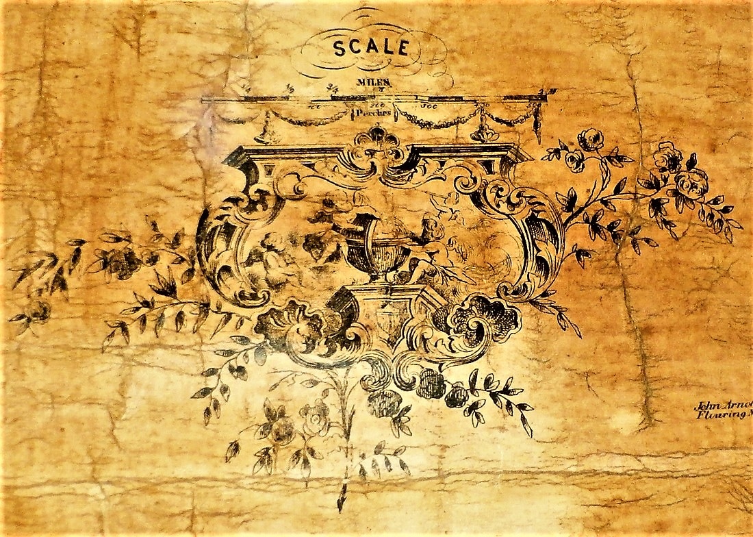
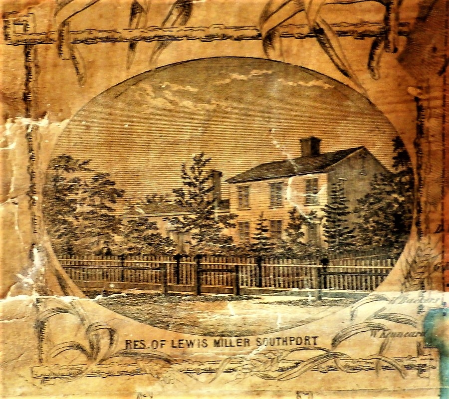
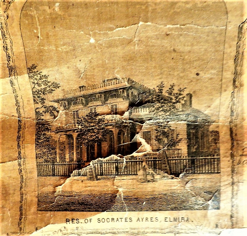
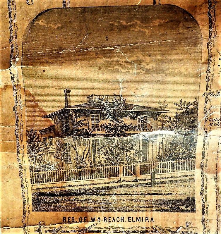
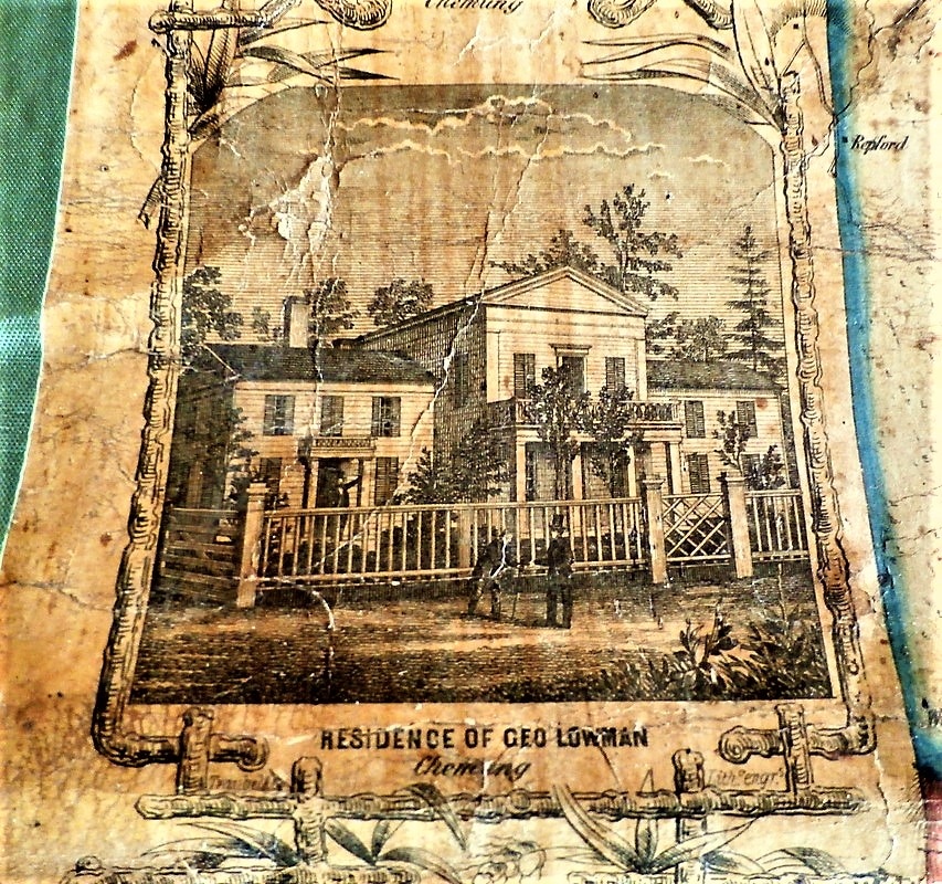
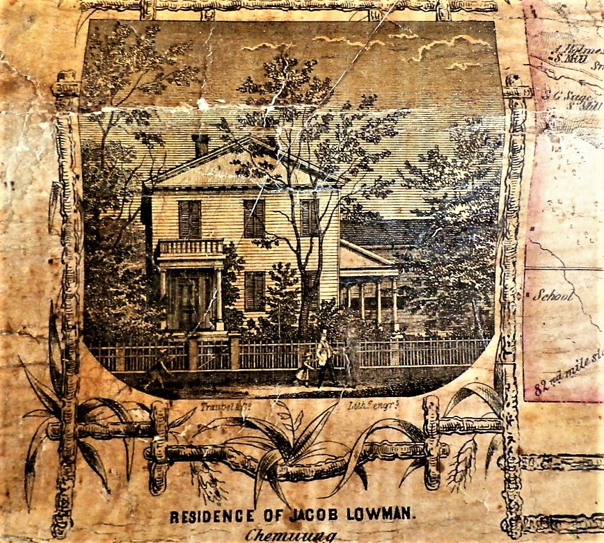
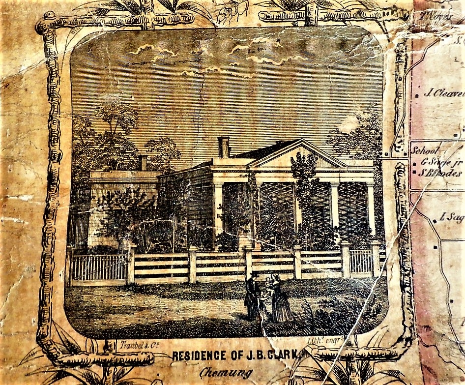
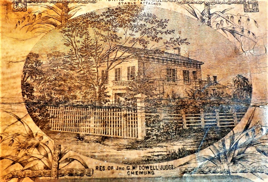
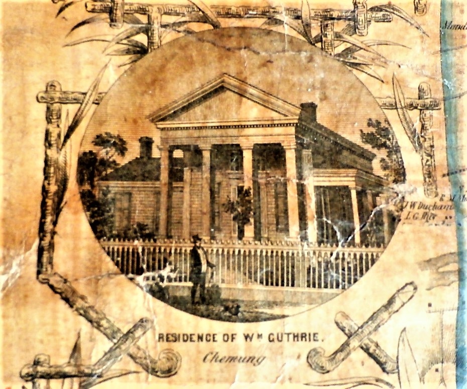
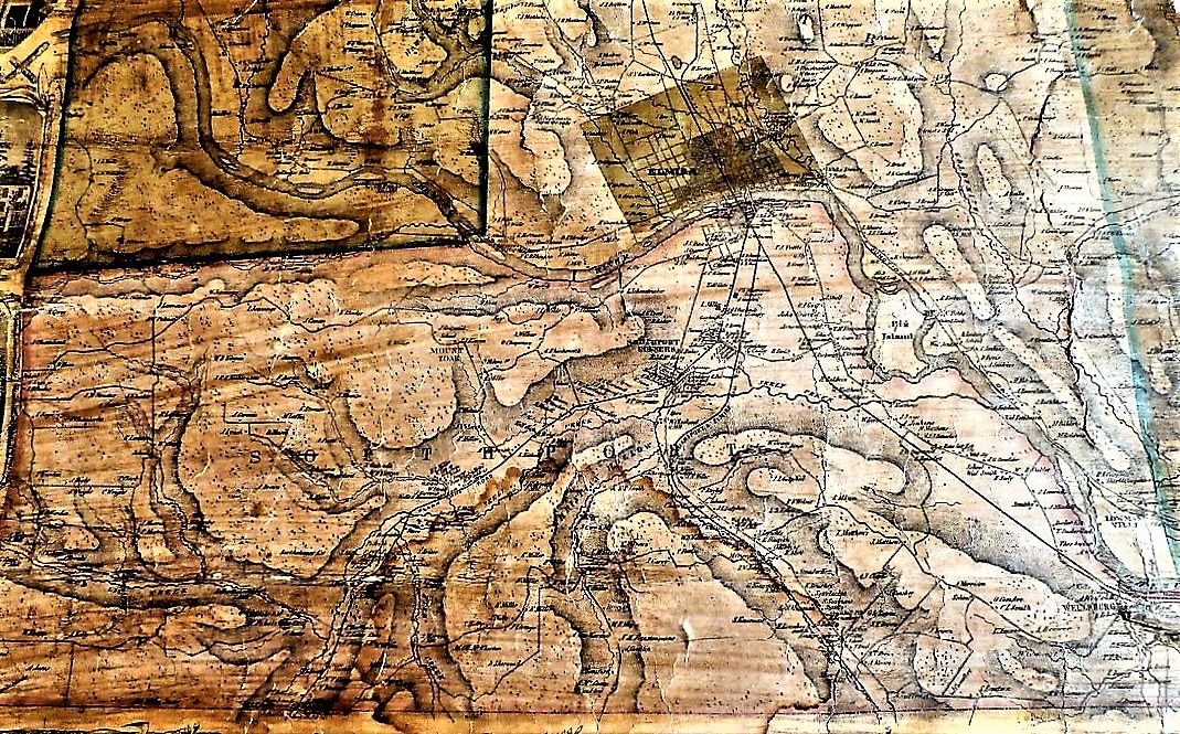
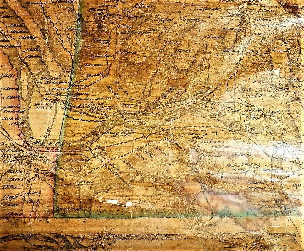
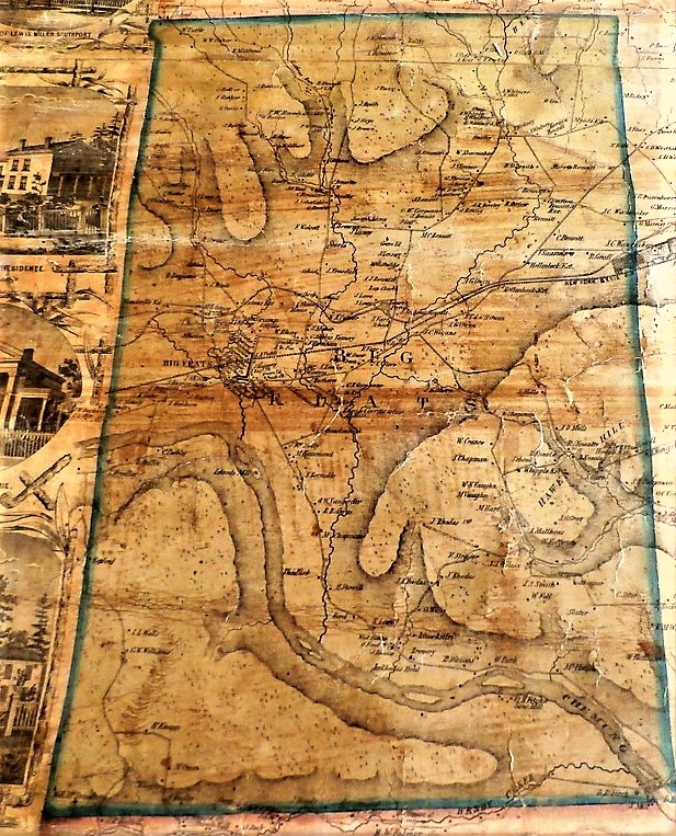
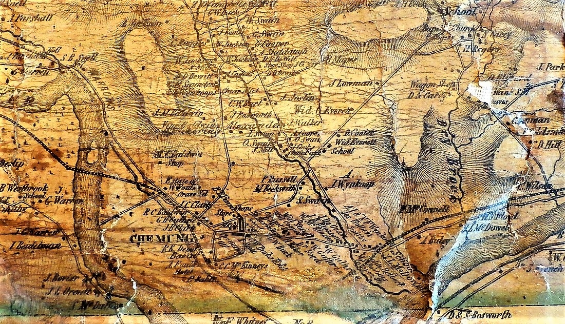
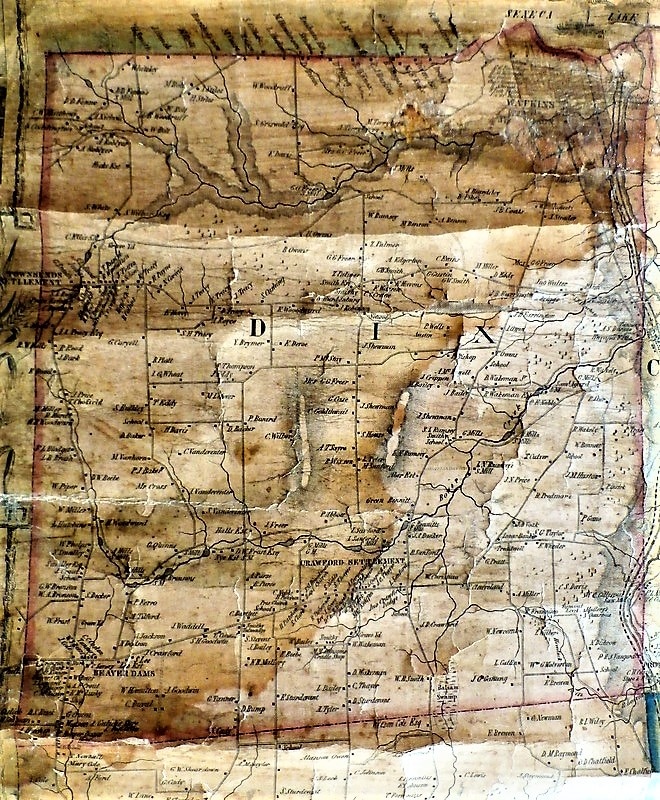
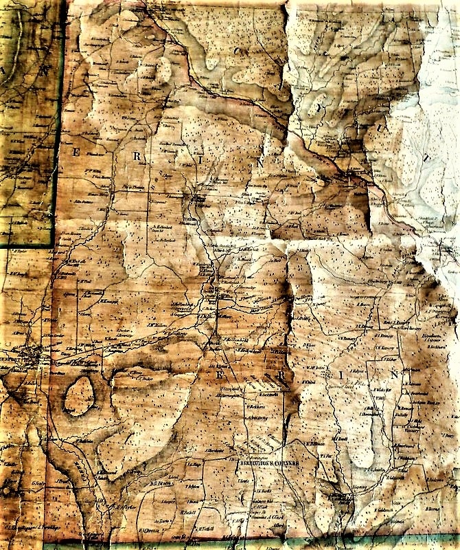
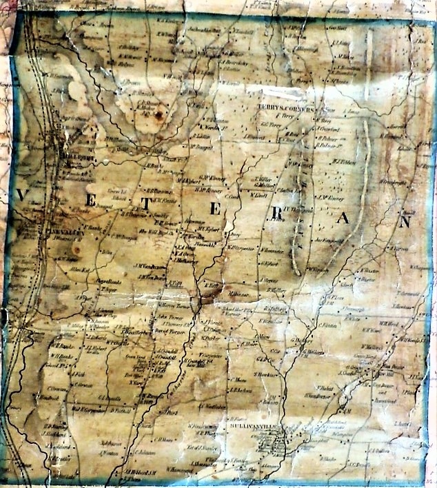
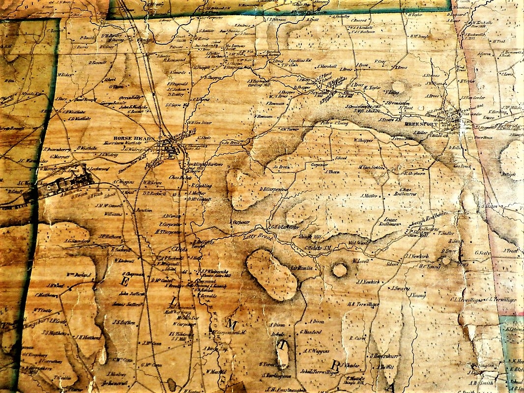
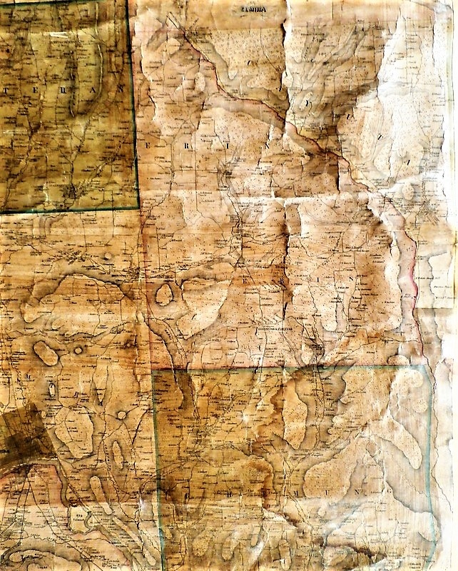
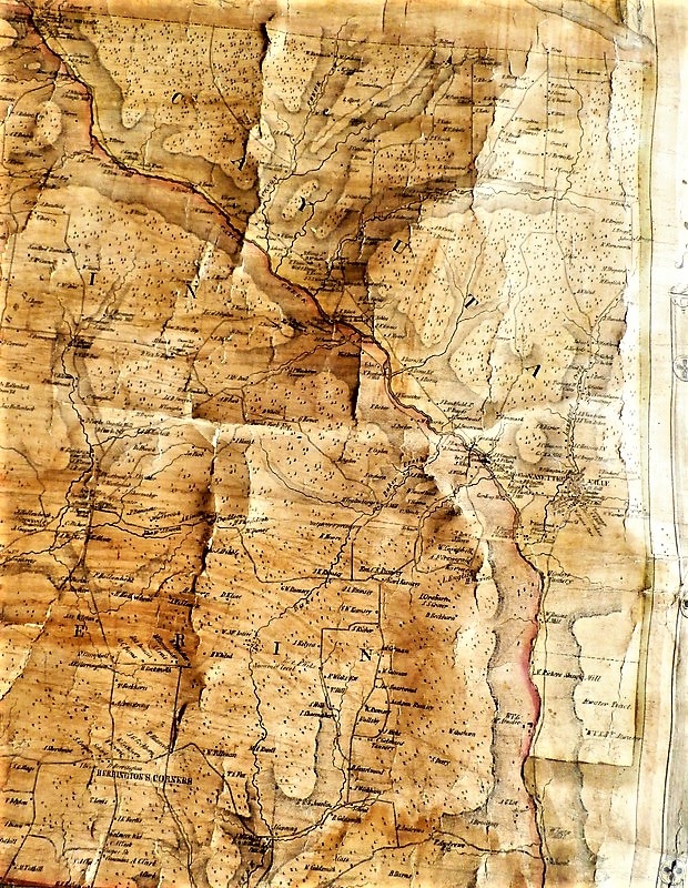
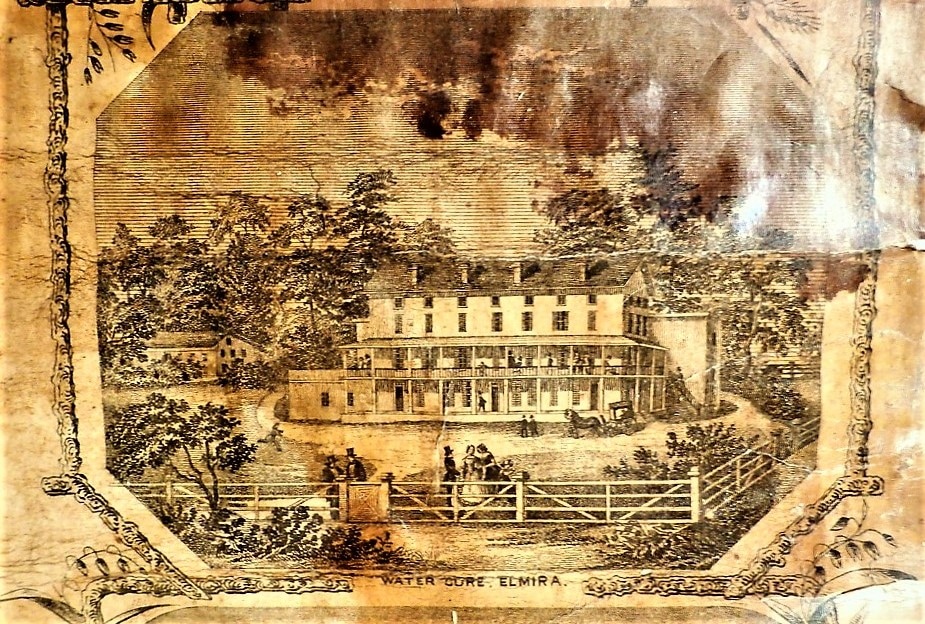
1853 Chemung County Map with Lithographs
Library of Congress: Map of Chemung County, New York : from actual surveys (this is a great copy with a zoom function) https://www.loc.gov/item/2012593649/
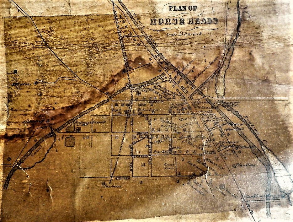
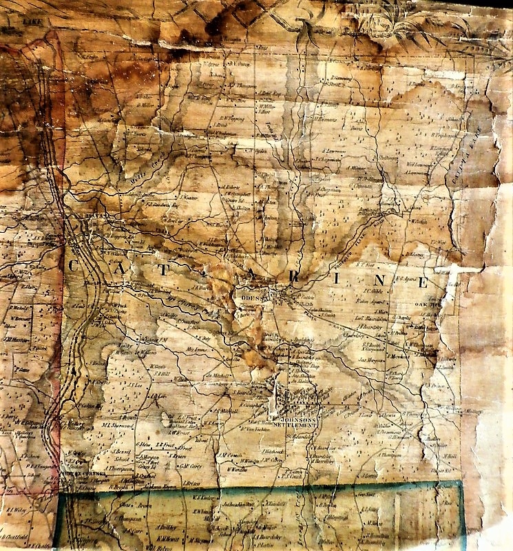
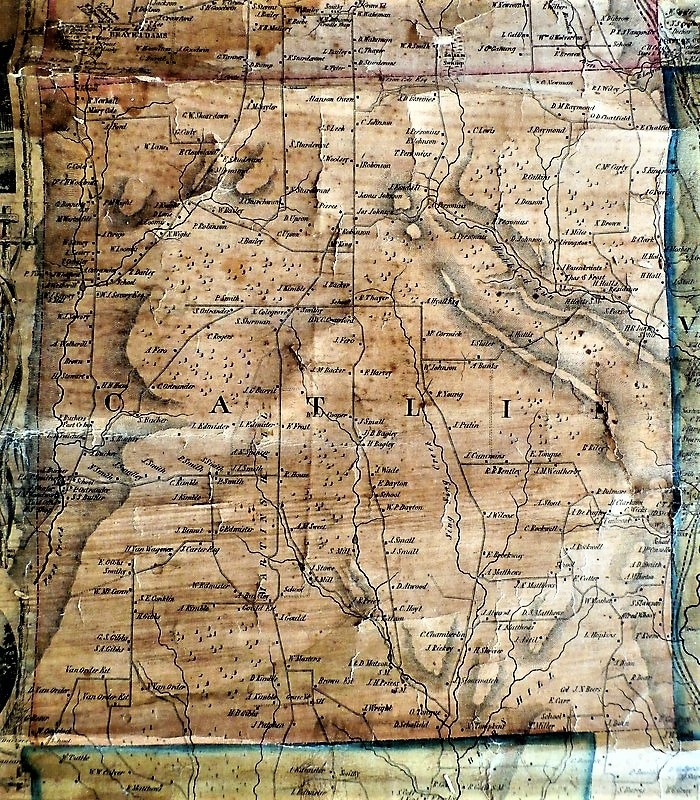
I thought you might enjoy taking a look at an old map. It is worn and has some staining, however it still retains a lot of detail. When you look at this map, keep in mind, Chemung County was formed in 1836. Also the Town of Ashland to the west of Chemung, was formed in 1867, the last in the county.
Clicking on the photograph will enlarge it on another page. This only works on the gallery pages.


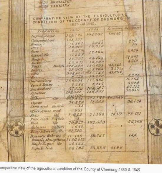
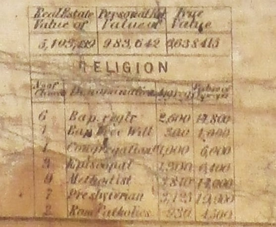
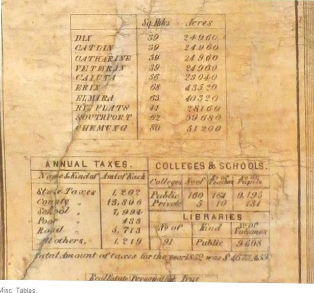
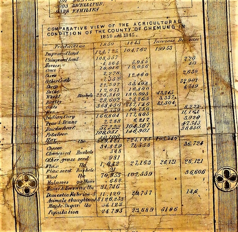
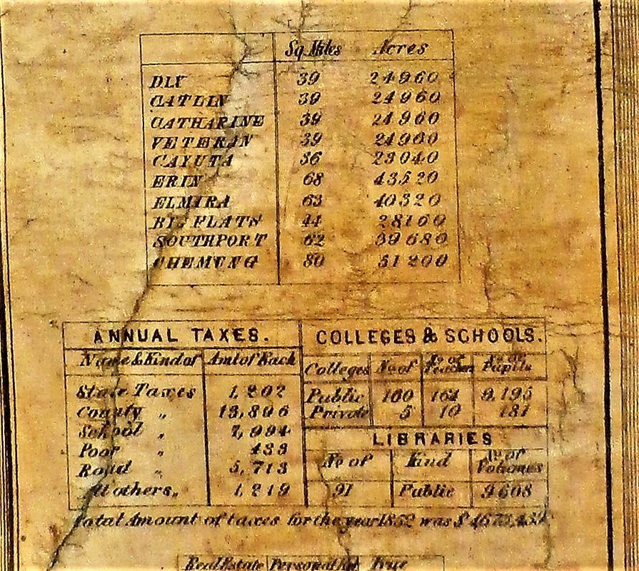
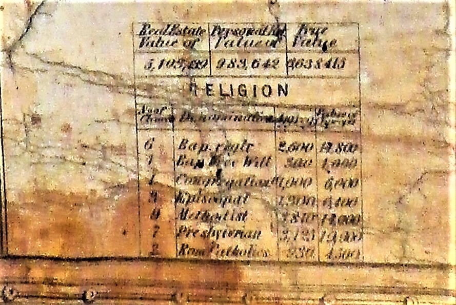
Statistics taken from the 1853 map for Chemung County and the towns within.

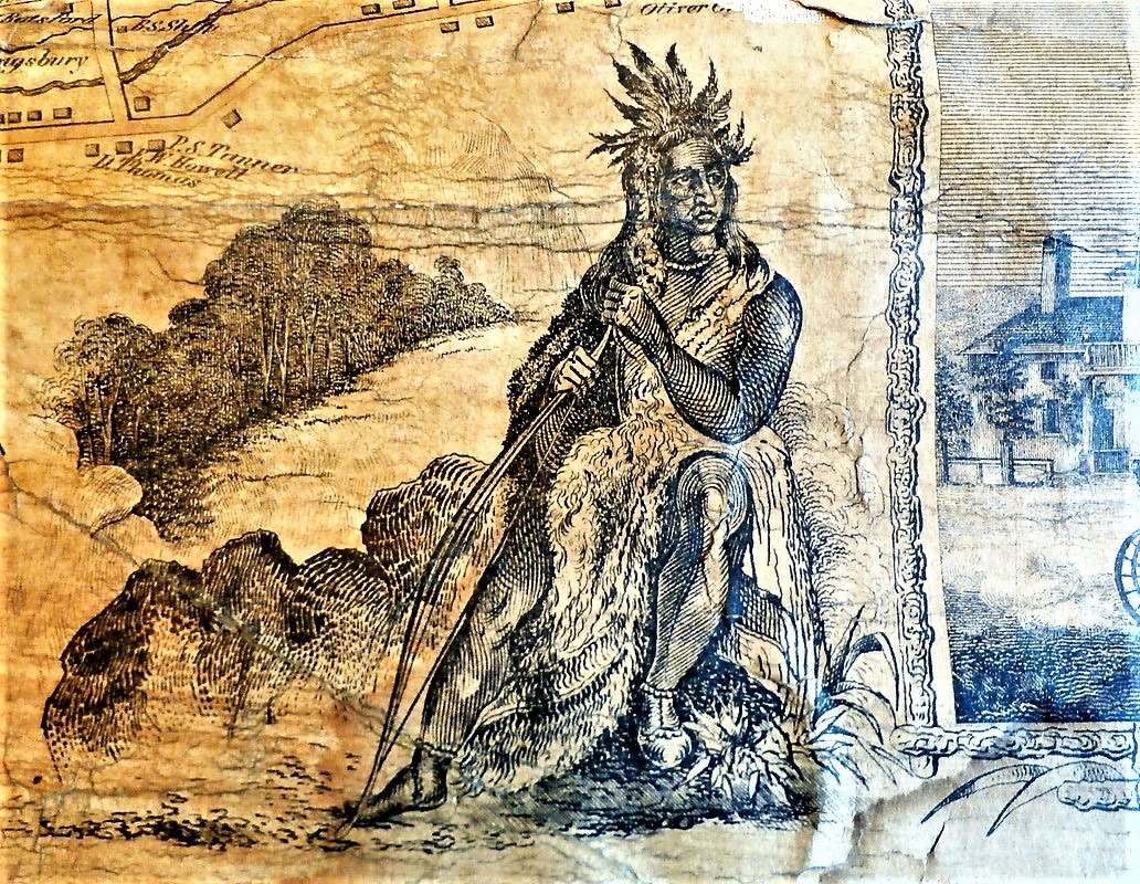
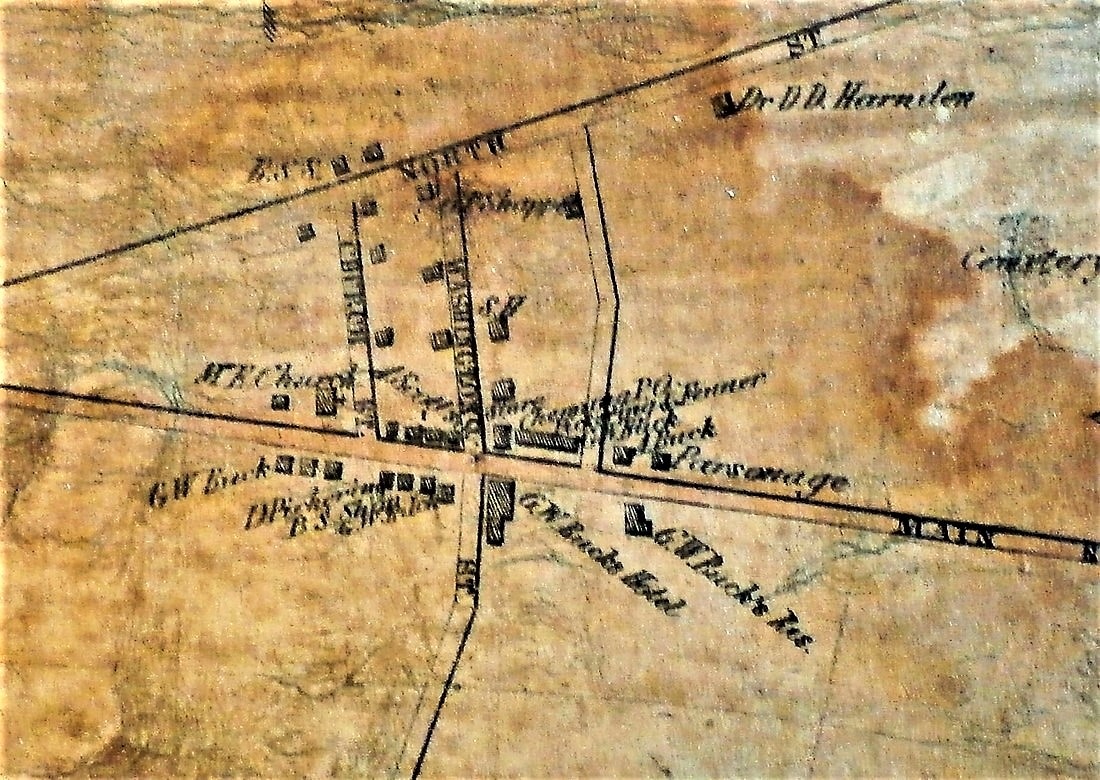
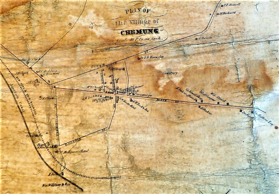
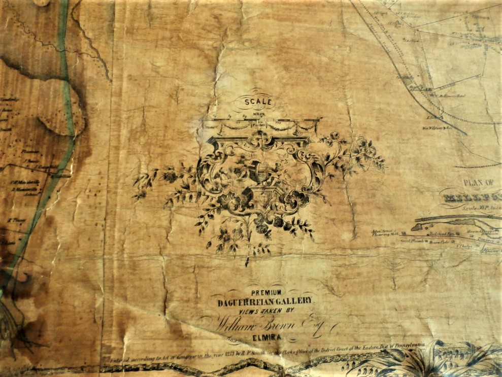
The following images are not in good shape. The Library of Congress link will provide you with a much nice map.
https://www.loc.gov/item/2012593649/
https://www.loc.gov/item/2012593649/
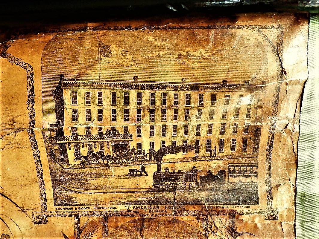

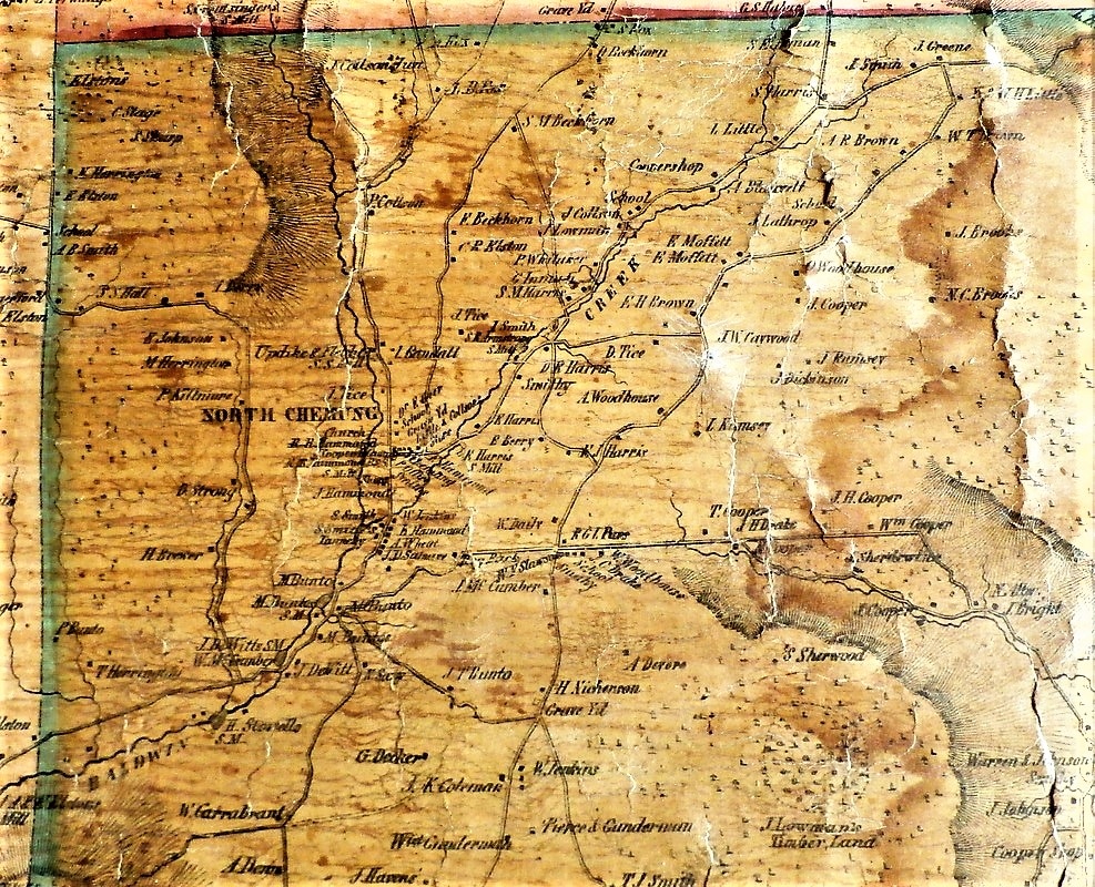
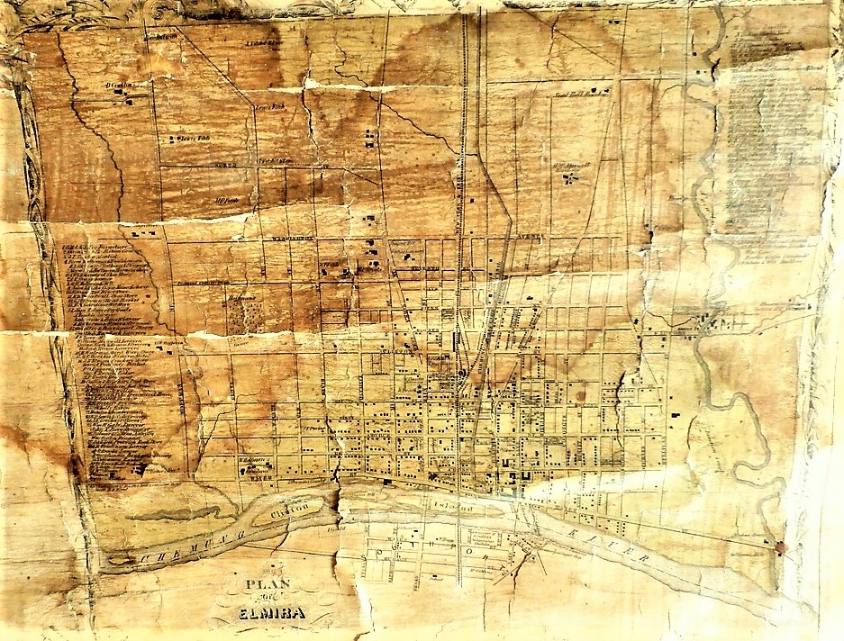


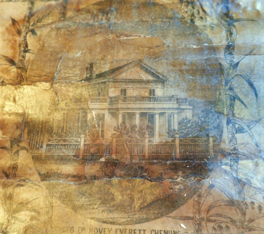
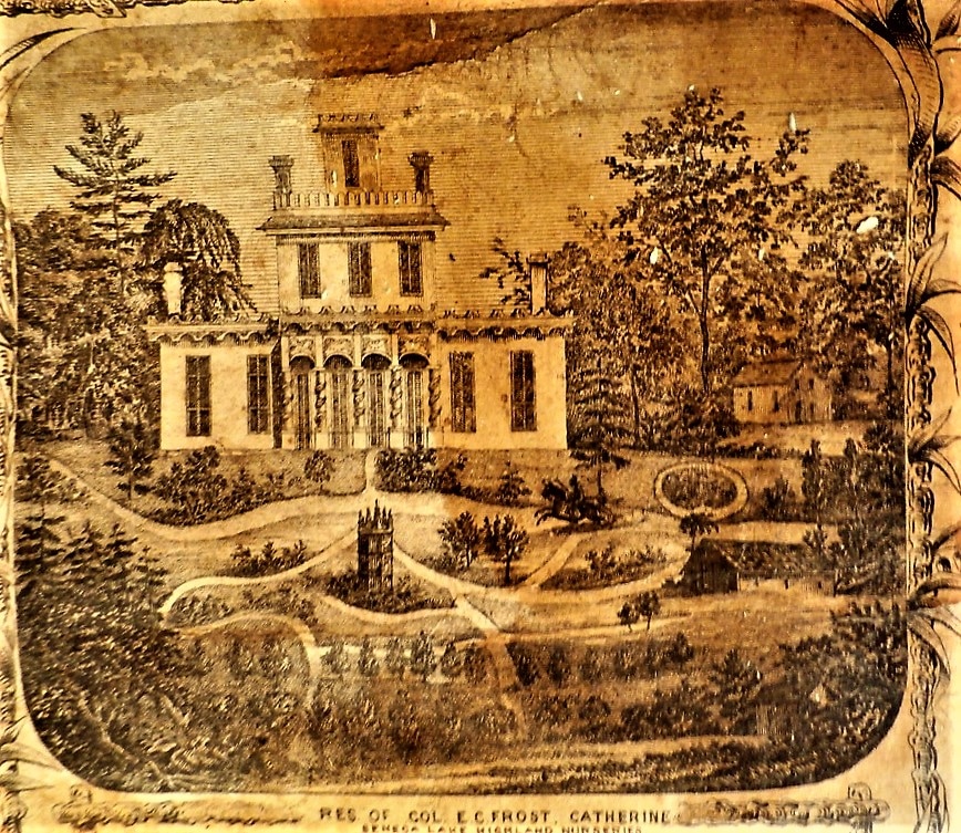
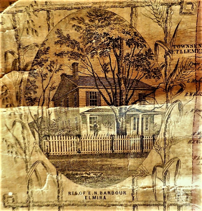

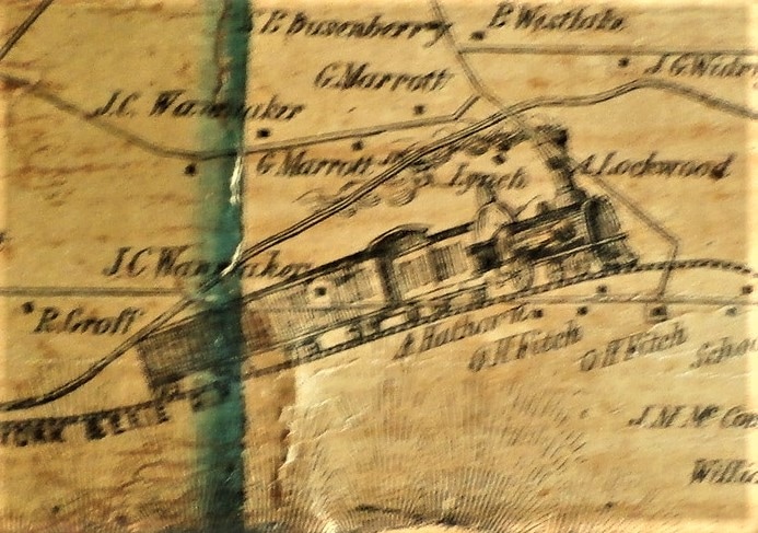


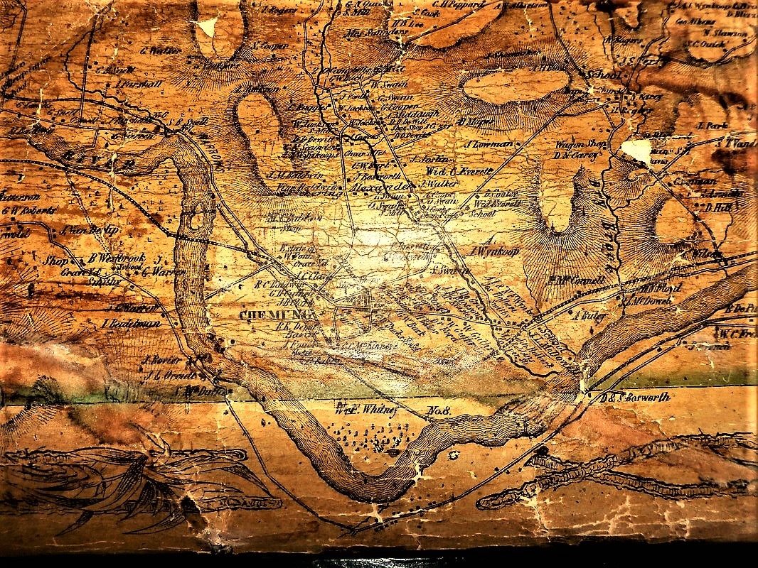
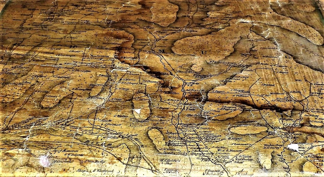

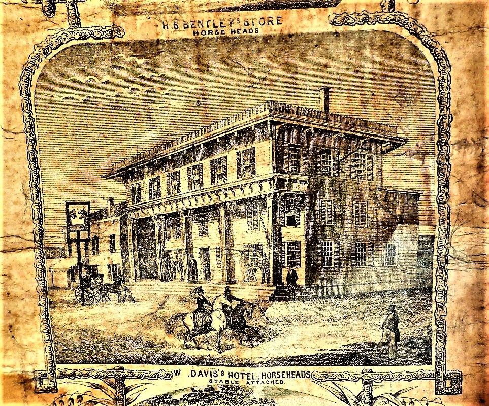
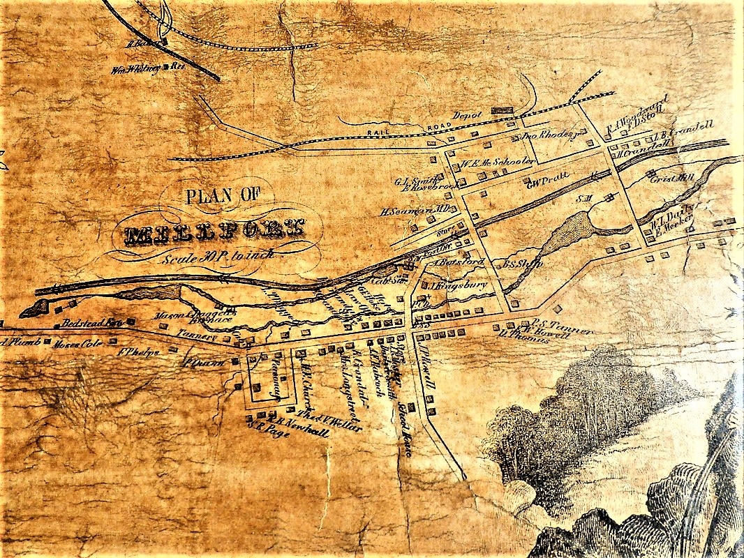
More images added June 2014, taken by digital format at the Chemung County Historical Society, their map hangs on a wall and is in much better condition than the one we took photos of previously.